< Return to Projects
Mapping & Modeling
Lowry Engineering uses ESRI ArcMap to provide you with the advantages that GIS software has to offer. GIS software is a powerful solution that allows us to graphically organize data in a layered interactive map. Data can be collected and organized within the software leading to improved facility management and decision making. Now organizations can have detailed maps printed for display, or they can use free viewers and online maps to find the data they are seeking.
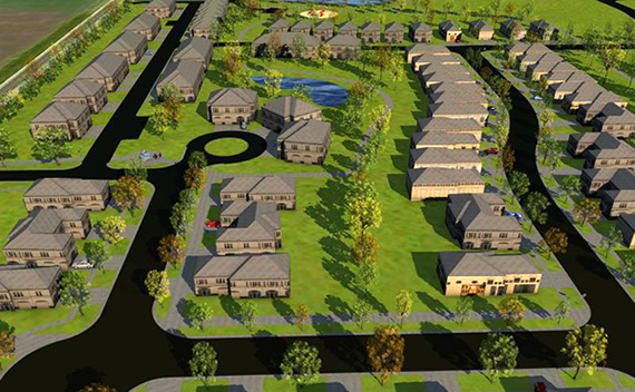
The world of design is becoming more three-dimensional every day. Most everyone would agree that hearing the music is more pleasing than staring at the notes written on a staff, so sometimes you need more than a black-and-white plan view sheet to grab the attention of your audience. We have the tools to create visually descriptive models allowing you to enjoy the “music” as it is intended to be shared.
Our services include but not limited to:
- GIS interactive maps
- 2D planview renderings
- 3D isometric renderings
- Conceptual 3D project walkthrough videos
- Hydraulic modeling
Related Projects